

Garmin GPSMAP 1223xsv Combo GPS/Fish Finder with Worldwide Base Map (010-02367-02)
(1 reviews)
Estimate Shipping Time: 3 Days
Sold by:
Emily & Co.
Emily & Co.
Price:
$4,070.39
/pc
Refund:
Share:
Top Selling Products
-

Pro 9 RVX、Navionics N. America
$3,039.75


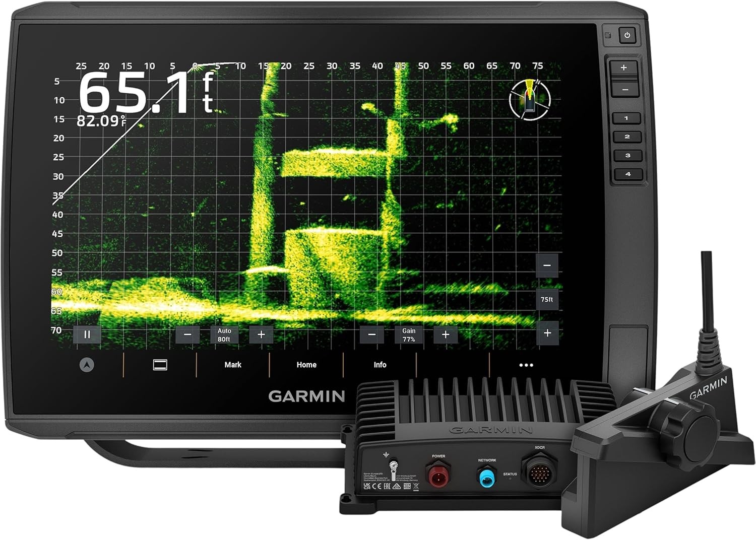
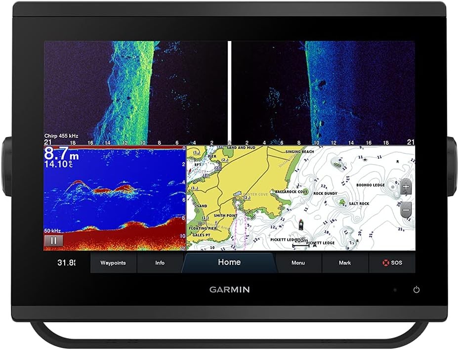
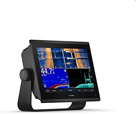
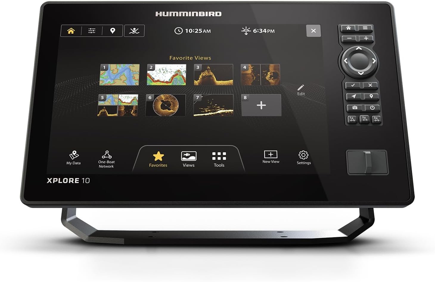
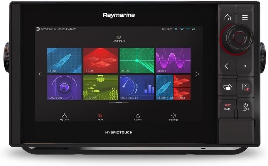
- 【12 inch Touch Screen Display with IPS Panel】The display is bright, clear and easy to see in any condition even in direct sunlight. BUILT-IN TRADITIONAL CHIRP, ClearVü and SideVü scanning sonars: These sonars provide a detailed view of the fish and structure under the boat and target a specific area for easy fish to locate
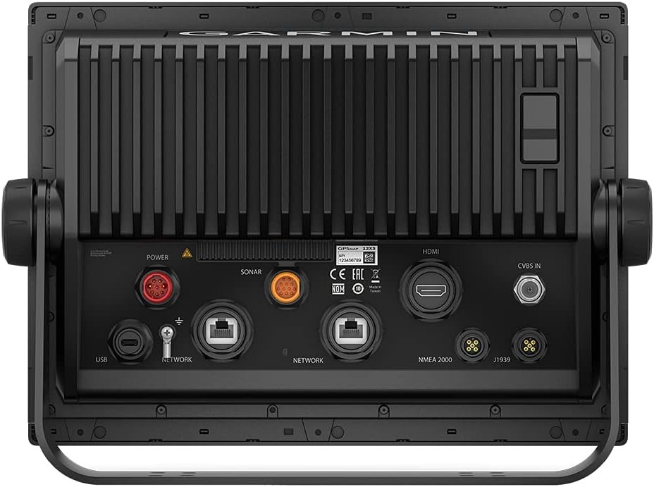
- 【Worldwide Base Map】The base map includes a detailed chart of coastal regions, lakes and rivers around the world. 【J1939 Connection】Connect the chart plotter to devices such as compatible engines, autopilots and digital switching systems
- NMEA 2000 and NMEA 0183 Networks: This network allows you to connect a chart plotter to other marine electronics such as VHF radios and AIS transponders. Wi-Fi and Bluetooth Connection: Connect a chart plotter to your smartphone or tablet to view charts, download software updates, and share data with other devices
- 【Support Optional BlueChart g3 Vision Chart】Provides more detailed charts than base maps, including high-resolution satellite images, depth isolates and points of interest. 【Compatible with optional Garmin radar】Add Garmin radar to a chart plotter to further improve situation awareness
- 5000 Watt Traditional CHIRP Sonar: Provides excellent target separation and clarity even in deep water
-
Chaz Murray
13-06-2026Product matched the description well. Happy overall.
Related products


$2,041.48
Daiwa Seaborg 12000 MJ English Display Electric Big Game Deep Sea Reel - SB1200mj
Club Point:
0